Black Sea region
The Black Sea Biogeographic Region is a biogeographic region of land bordering the west and south of the Black Sea as defined by the European Environment Agency.
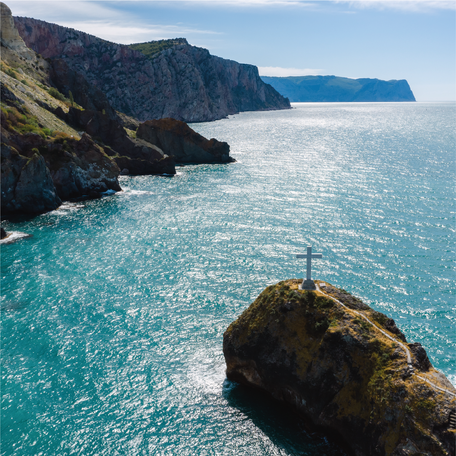
The Black Sea Region is a coastal strip of land 20–60 kilometres (12–37 mi) wide that runs along the coasts of Romania, Bulgaria, and a broader coastal strip in northern Turkey and Georgia. The coastline has rocky bays and sea cliffs, but is dominated by long stretches of low sand dunes and beaches sloping into the Black Sea.
The sea has a moderating effect on the climate, so temperatures do not fall much below 0 °C (32 °F) in winter, and are not as high in the summer as in area further inland.
The Kaliakra cliffs in the north of Bulgaria are rich in flora, including many species in common with the neighbouring Steppic and Mediterranean Regions. The western Black Sea Region is the Via Pontica, Europe’s second-largest bird migration route.

The migrating birds use the coastal lakes, marshes and lagoons behind the shoreline, and some spend the winter in these wetlands. The Danube Delta is the best known of the wetlands. In Bulgaria and Romania, the region is threatened by the development of agriculture, industry, urbanization and tourism.
The Black Sea itself, a very deep inland sea, is poor in oxygen and supports very little marine life in the deeper regions. However, it had a productive fishery until the 1960s, when stocks crashed in part because of over-fishing and in part from pollution and invasion by exotic species.
Turkey
Partner responsible: Malatya Turgut Ozal Universitesi (MTÜ)
Country Leader: Ibrahim Yanardag
Contact: ibrahim.yanardag@ozal.edu.tr
Experimental unit
The trial area for the persimmon plant will be established in Tekkeköy district of Bafra district of Samsun province in the Black Sea region of Turkey and is located at 41°13’58”96N 36°30’09”96E. The trial area for the hazelnut plant will be established in the Terme district of Samsun province, located in the Black Sea region of Turkey, and is located at 41°08’44”34N 36°59’34”75E. The multi-year average temperature is 14.6 °C and rainfall is 719.5 mm. It is located 44 m above sea level.
In the study, vermicomposting with organic methods and Vicia sativa (Alfalfa) and Lolium perenne (Ryegrass) cover crops will be used for both date palm and hazelnut plants.
Pedoclimatic conditions
Type of soil: Cambisols and Leptosols
Mean annual T: 13.1 °C
Mean annual P: 936 mm
Key figures
Farming Systems: 2 Organic
Crops: Hazelnut and persimmon
Crop-linked Groups: 2
Co-creation workshops: 1 (with one round table per GLG)
Co-validation workshops: 2
Experimental units: 4
Interviews
Interviews related to Biogeographical Black Sea region will be display here.
Gallery
A gallery related to Biogeographical Black Sea region will be display here.
News related
AGROSUS launch a survey for farmers across the 11 biogeographical regions to select the best agroecological strategies
AGROSUS (AGRoecological strategies for SUStainable weed management in key European crops) is a four-year transdisciplinary research project. The project aims to identify appropriate tools and agroecological strategies to prevent and manage weeds in relevant crops, in...

